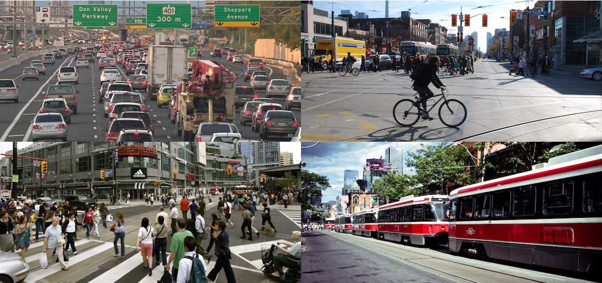
Toronto is in the midst of a grinding debate on how to modernize the region’s transit system, with a pared down version of mayor John Tory’s SmartTrack proposal looking increasingly like the last plan standing.
While Torontonians patiently wait for relief from the city’s notorious congestion – both on the roads and on public transit – they still need to find a way to get to work. Previously, we mapped public transit usage across the city, and found some surprising patterns of bus and subway reliance, particularly in the city’s lower income areas. But under a quarter of Torontonians rely on public transit for their commutes, so it painted a relatively incomplete picture.
We dove back into the data to see how residents of the Greater Toronto Area manage to get to and from their jobs, be it by car, bike, foot, or public transit. Once again,using data from the 2011 National Household Survey, we sliced up the city into census tracts, and mapped what percentage of employed residents in each area use each mode of transit as their main method to get between home and work.
Driving
This map serves as a stark reminder of how much residents of the GTA rely on their cars. Outside of the city of Toronto, upwards of 90% of commuters hit the streets and highways each morning in a car. But really, what other choice do they have? With the city now stretching dozens of kilometres to the east, north and west into sprawling, low-density communities, there is virtually no alternative to sitting behind the wheel besides using relatively inefficient suburban bus networks like York Region’s Viva and Mississauga’s MiWay.
But even within the city, at close proximity to subway stations along the Yonge or Bloor lines, well over half of Torontonians are choosing to drive to work in some areas. Only deep in the downtown core does the reliance on automobiles ease off, and even there, over 20% of commuters take their cars.
Walking
Not surprisingly, in a city as spread out (and cold) as Toronto, few people are commuting on foot. Outside of the downtown core, where upwards of 50% of residents walk to work in high density areas like Bay and Dundas, fewer than 1 in 10 Torontonians have the luxury of strolling past snarled traffic and packed buses.
But if you look closely, you’ll find some interesting pockets of foot-powered commuters. To the north, near York University, 13% of commuters walk; to the east, by Ajax’s town hall, over 15% walk to work in what is a fairly dense commercial neighborhood; and to the southwest, in downtown Oakville, 1 in 6 commuters travel by foot within the city’s lively retail strip.
Cycling
Like walking, commuting on two wheels in Toronto can be quite a challenge, due to the weather, the vast distances, and the relative lack of bike lanes. Cyclists are similarly concentrated downtown; but unlike walkers, who are most abundant in the corridor between Bathurst and Jarvis, commuting cyclists stretch much further east and west, though not much further north than Bloor Street.
Outside of the downtown core, however, cycling is pretty much dead. In the vast expanses of Etobicoke, North York, Scarborough and further points out, virtually no commuters report cycling as their main mode of transport.
Public Transit
As we discovered in our previous map on public transit in Toronto, the biggest hotspots for public transit use are to be found, not surprisingly, along the city’s major subway lines, particularly the Bloor-Danforth line, but also in high concentration near bus-train transfer hubs like Eglinton (51.3% of residents) and Finch (57.4%) stations. Farther afield, GO stations like Mimico in the southwest and Rouge Hill in the east are magnets for train commuters, while residents along the busy Finch 36 bus line in the northwest of the city have no choice but to board overcrowded and woefully infrequent buses to get to work.
Methodology
Statistics Canada collects commuting data for employed residents over the age of 15. Each mode of transit we consider must be a resident’s main mode of transport to travel between home and work in order to be counted. Census tracts represent the most granular slicing of a city that Statistics Canada considers, and typically represents an area with between 2,500 and 8,000 residents.
Don’t miss our newest stories! Follow The 10 and 3 on Facebook or Twitter for the latest made-in-Canada maps and visualizations.